In ‘Midlife – A Philosophical Guide’, Kieran Setiya distinguishes between telic and atelic activities. Telic activities “aim at terminal states, at which they are finished and thus exhausted”; Atelic activities do not, “they have no limit, no outcome whose achievement exhausts then and therefore brings them to an end”. Telic activities are self-destructive, “….in achieving that aim, you end an activity that made your life worthwhile….fulfilment lies always in the future or the past”. Atelic activities are “….ones whose fulfilment lies in the moment of action itself. To draw meaning from such activities is to live in the present”. Finding meaning in the process, not the project, valuing the doing, not what gets done. The list of places I want to cycle is telic, but it is the experience of doing them that is atelic. We’ll call the latter some sort of mindfulness, my haphazard attempt at coping with the existential crush of the quotidian’s stultifying mundanity. Or something like that.
The latest escape from The Crush™️: Long Mynd (again). I was there last week, and with some days left of the Easter break I headed back. It’s a crenulated, Precambrian lump of rock, whose numerous valleys (many referred to as batches) offer ways up and ways down. Some are strictly footpaths, other bridleways, and I’ve slogged up and bimbled down a few of those by bike. If my maths are correct, there are only three sealed roads to that get you within spitting distance of Pole Bank, the highest point: The Burway, The Horror, sorry, Asterton Bank, and one from Ratlinghope, that ascends via Bilbatch. I’ve done the first two, it was time for the latter – on paper, the easiest of the three (only one chevron on an Ordnance Survey Map – The Git, sorry, Asterton Bank has two sections of two chevrons by way of contrast).
The starting place was familiar – the car park at All Stretton’s village hall (surely only a matter of time before a resident gives me a ticking off for abuse of what I imagine isn’t a public parking spot?). Then a similar direction to last week before quickly heading on a different bearing, a lane to the left just north of the village that led to Inwood and on to Gogbatch. Views typical of Long Mynd – single track road winding through heathland, with a dose of drizzle (September, I think, when it last didn’t rain).
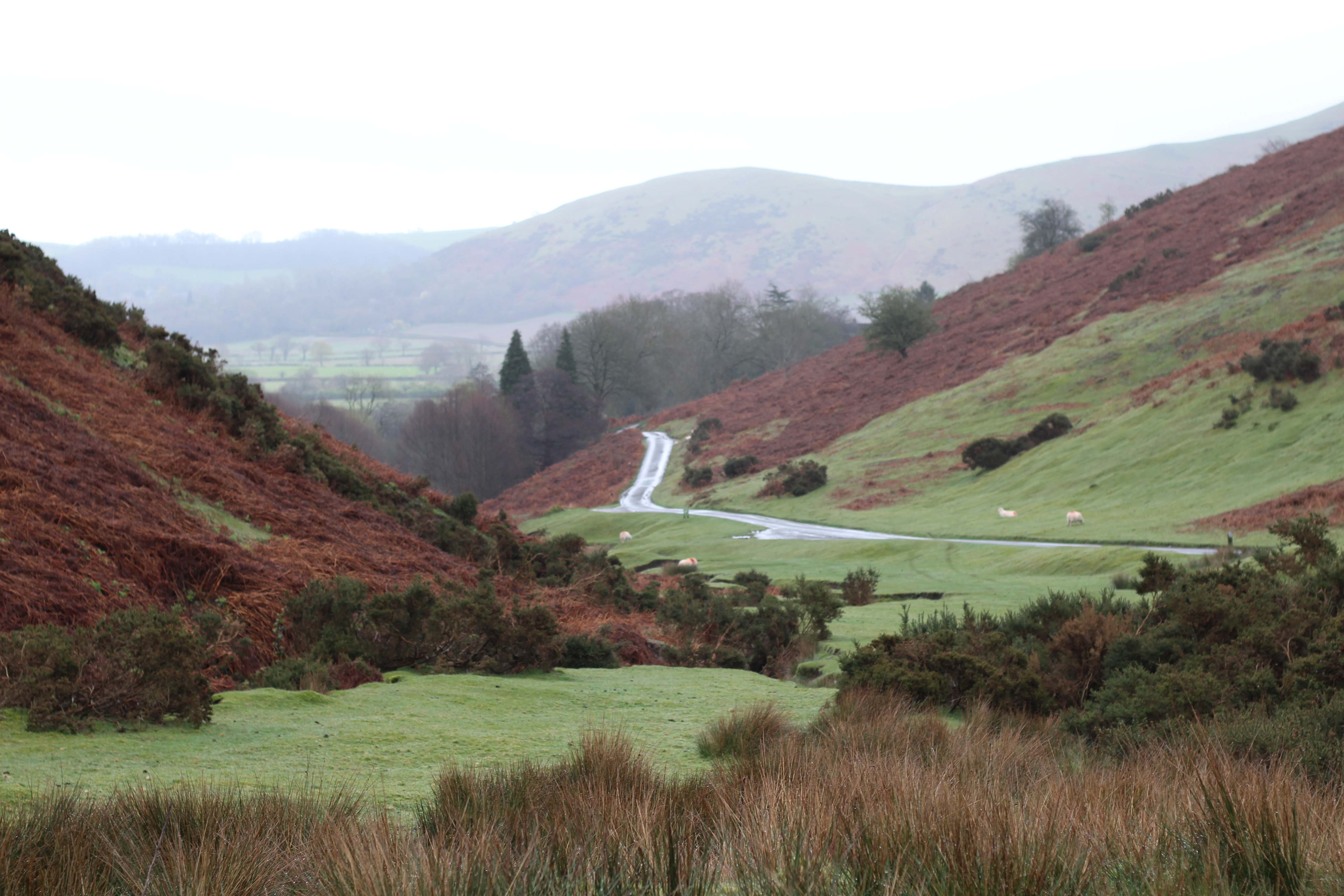
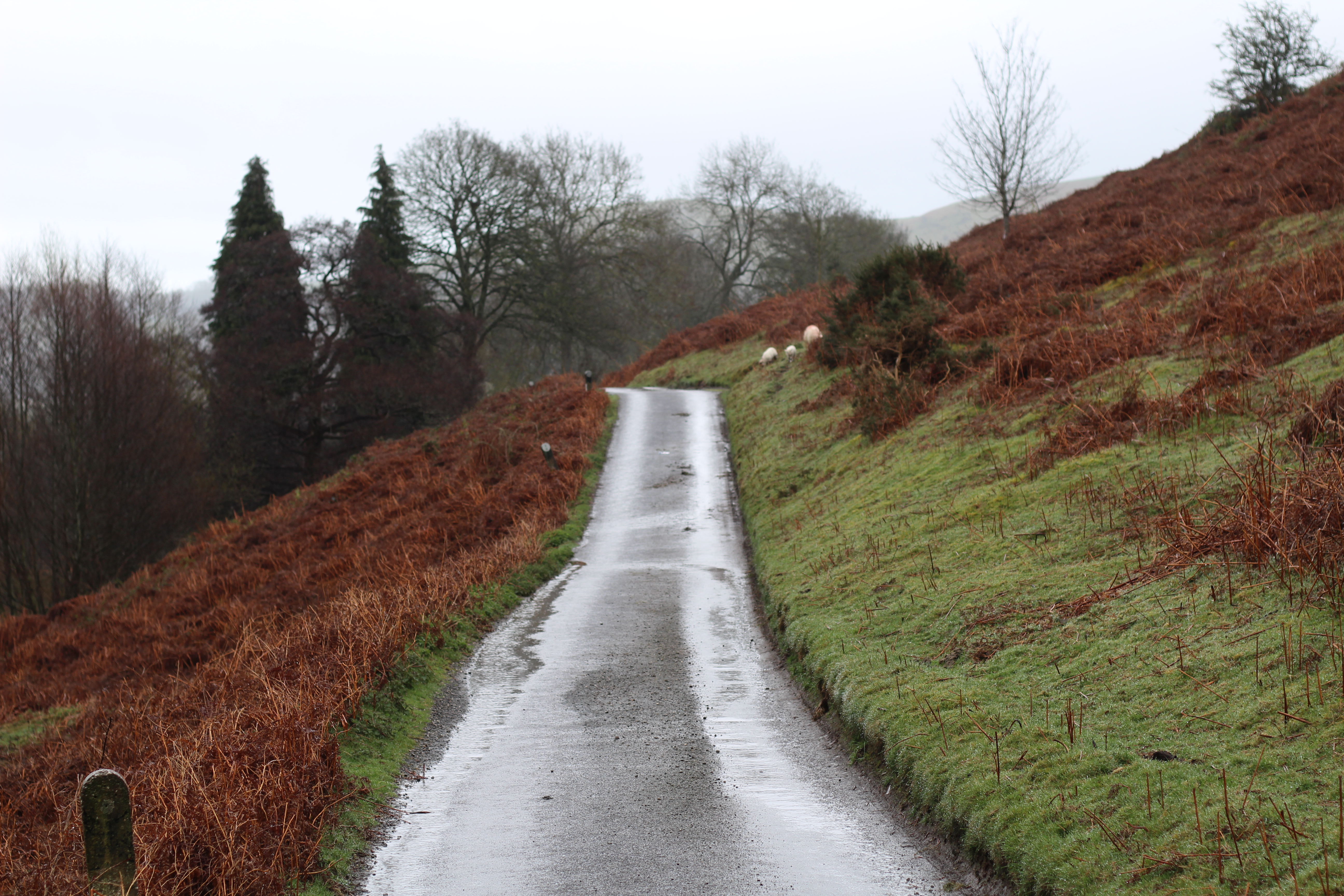
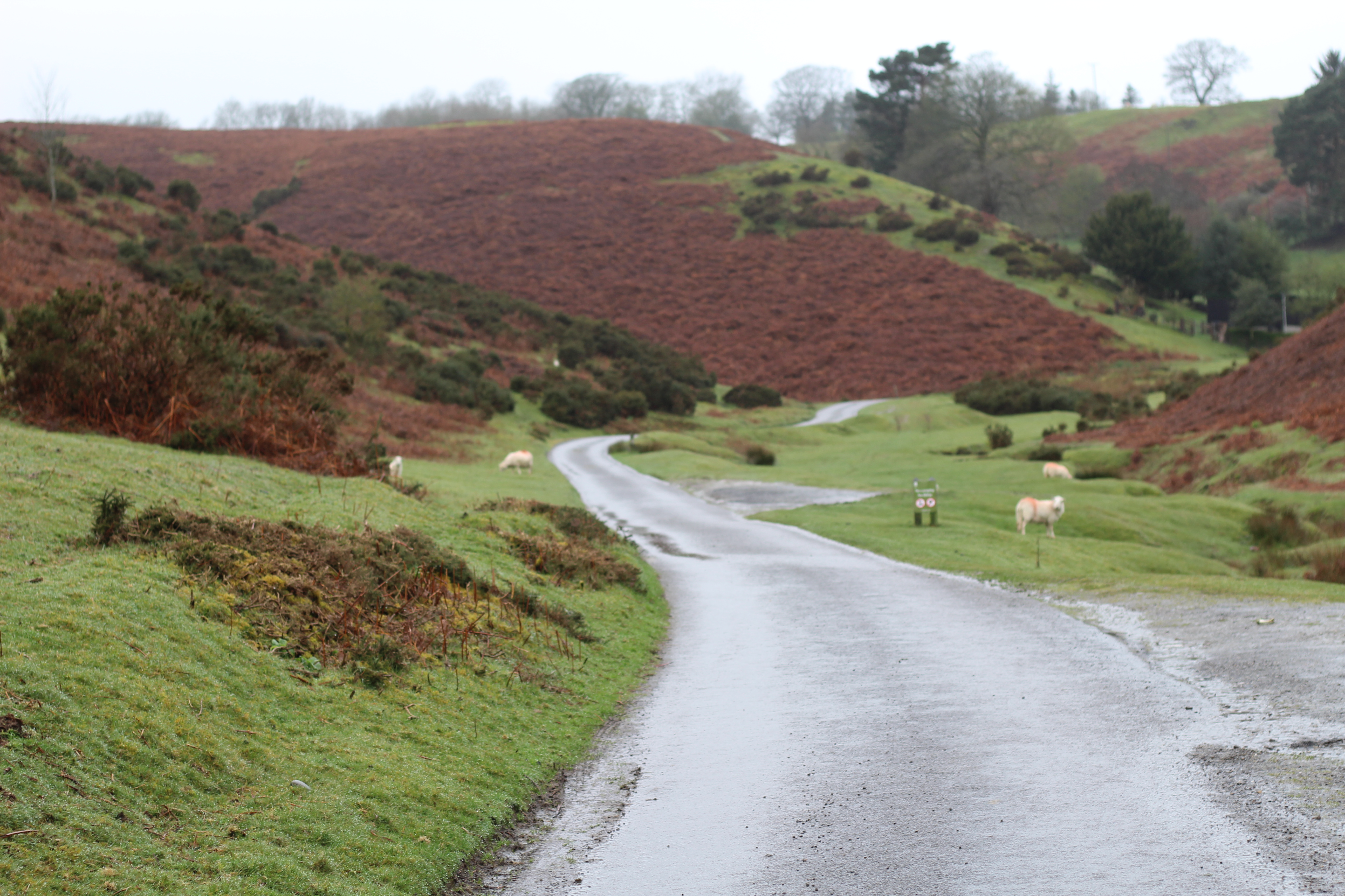
The climb out of Gogbatch warrants an Ordnance Survey chevron, but it was a short climb to Womerton and in heading to Woolstaston, a descent gave me chance to catch my breath. I then encountered The Portway, a medieval trade route that stretches the length of Long Mynd, for the first of two visits. It’s a tarmac lane in places, a dirt track in others. I would ride the tarmac sections only, initially ascending to High Park. Beyond a crossroads south-west of Woolstaston, it was steep enough to earn one of those chevrons on the map and annoyingly straight too – I really don’t like seeing what is coming up when it comes to climbs. By Duckley Nap (as in Knap, a crest of a hill?) drizzle had become mizzle, the mist and rain spoiling any views from the height gained. I passed Wildmoor Pool, and following the course traced by Colliersford Gutter and Darnford Brook below, a glorious descent got me to Ratlinghope.
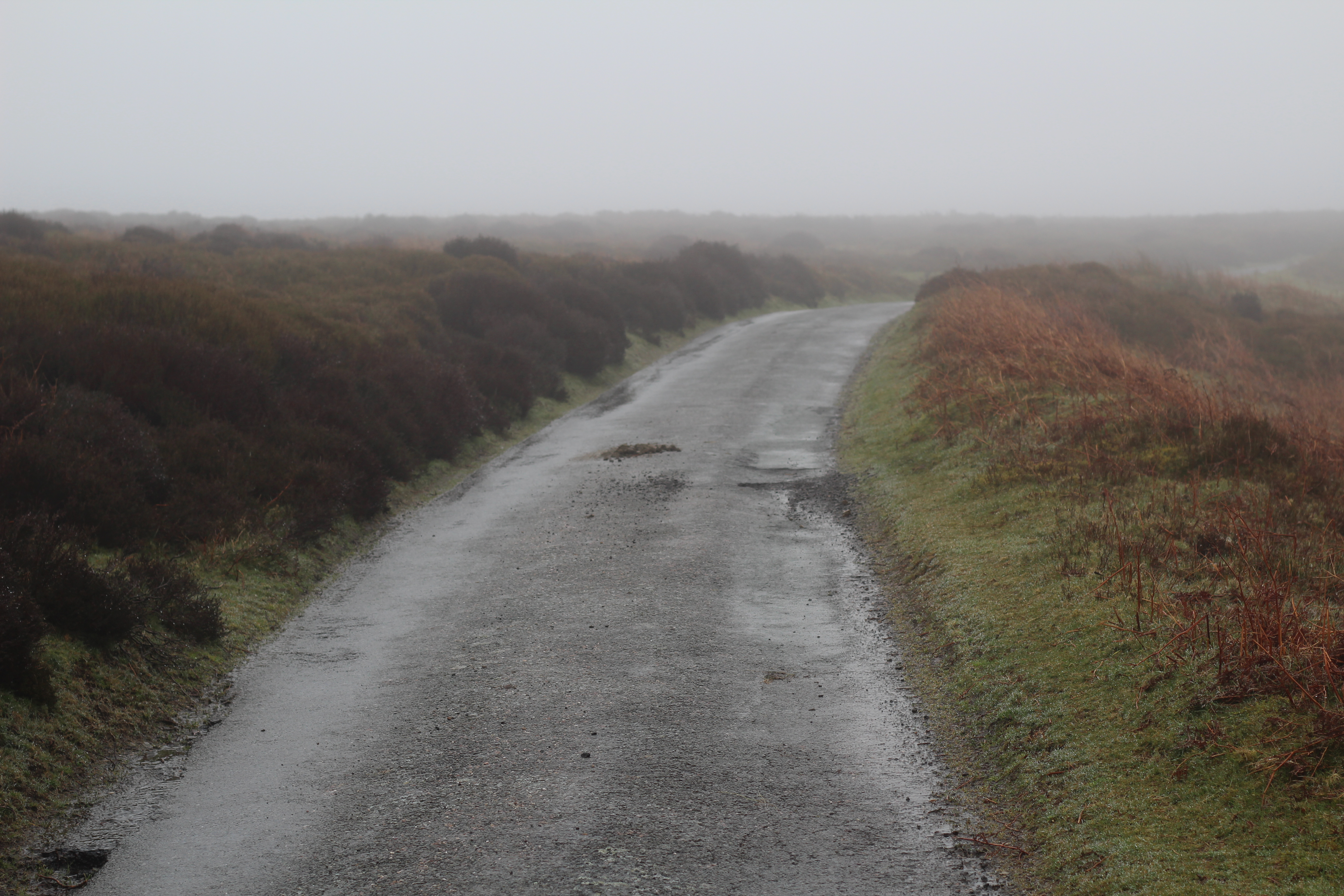
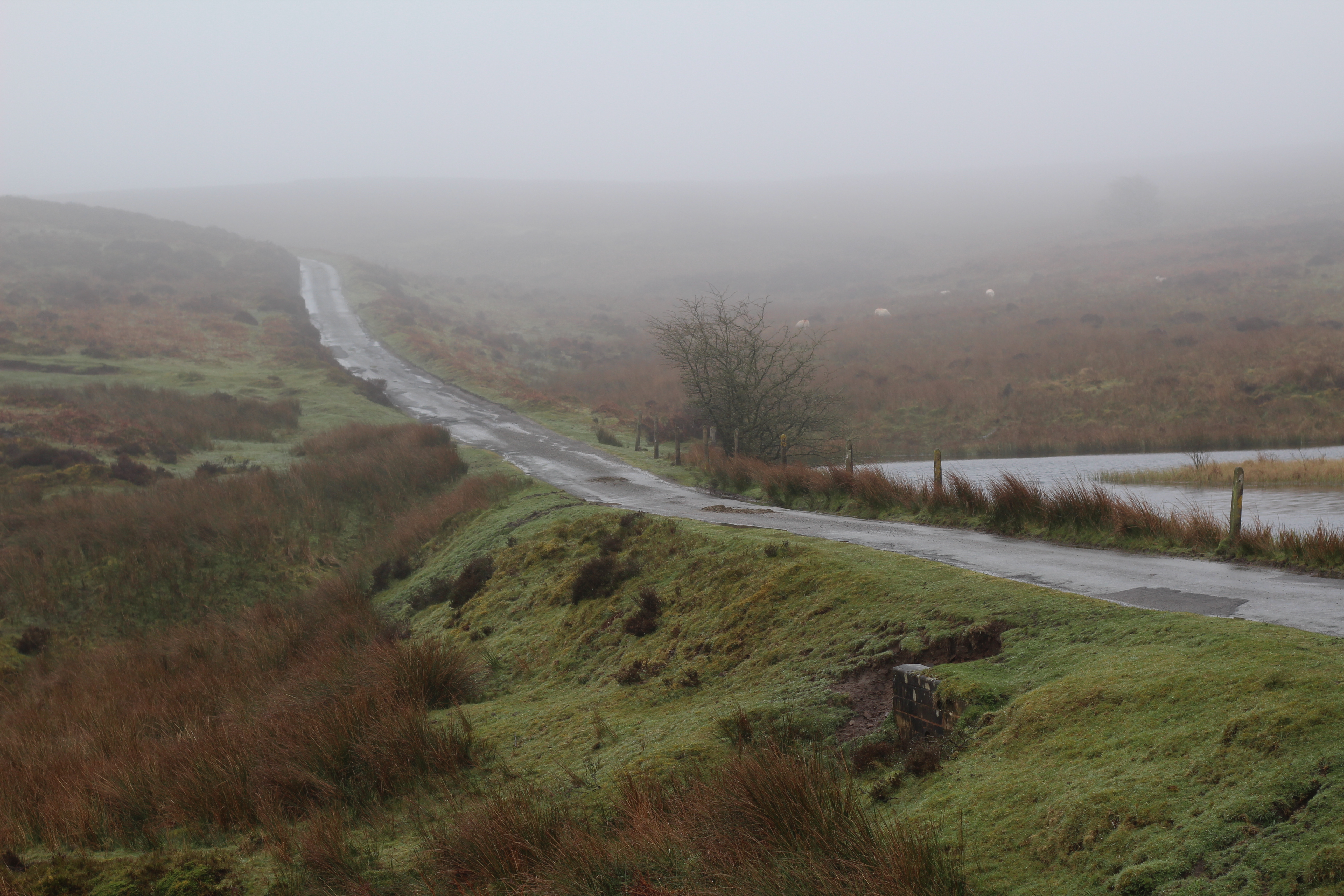
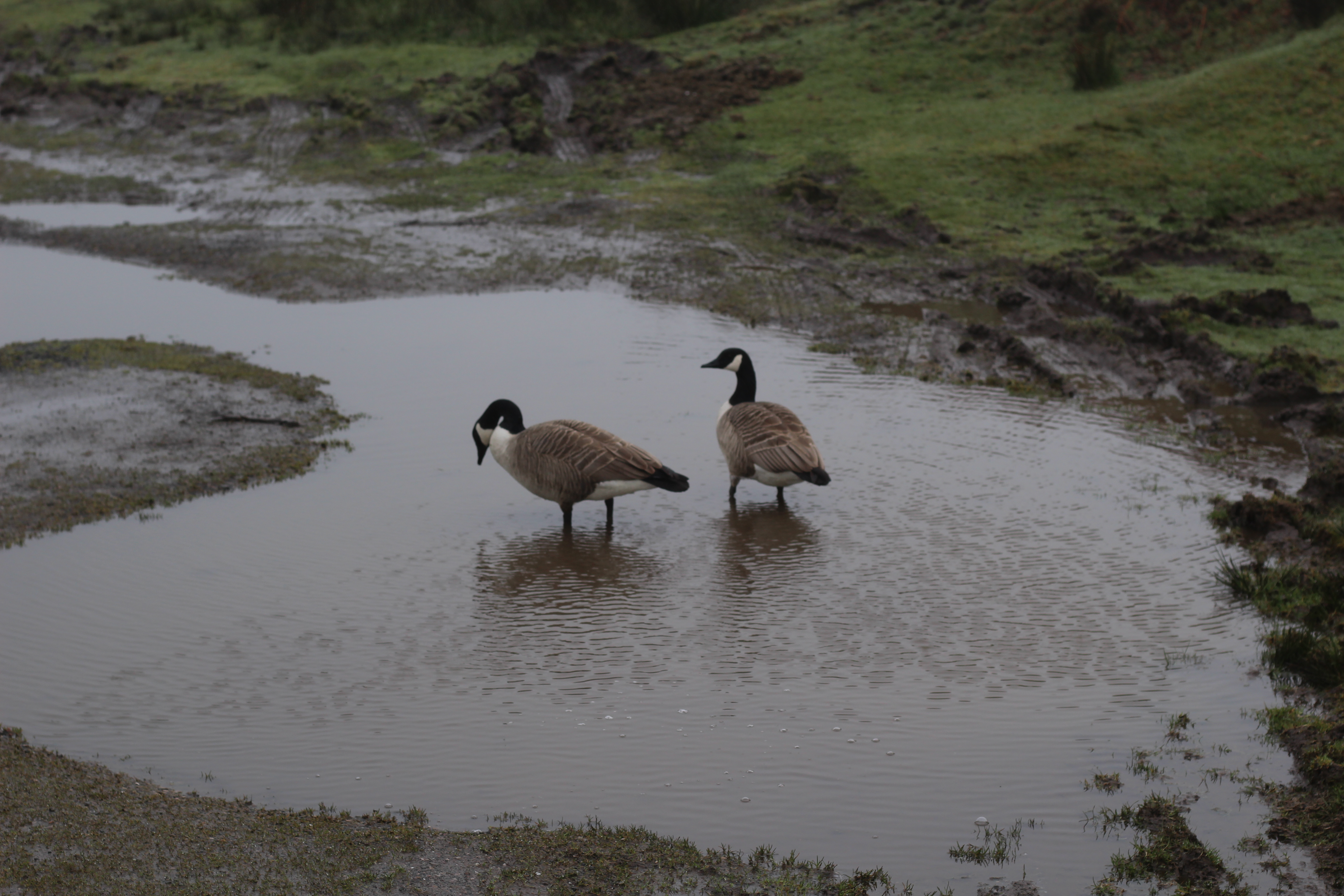
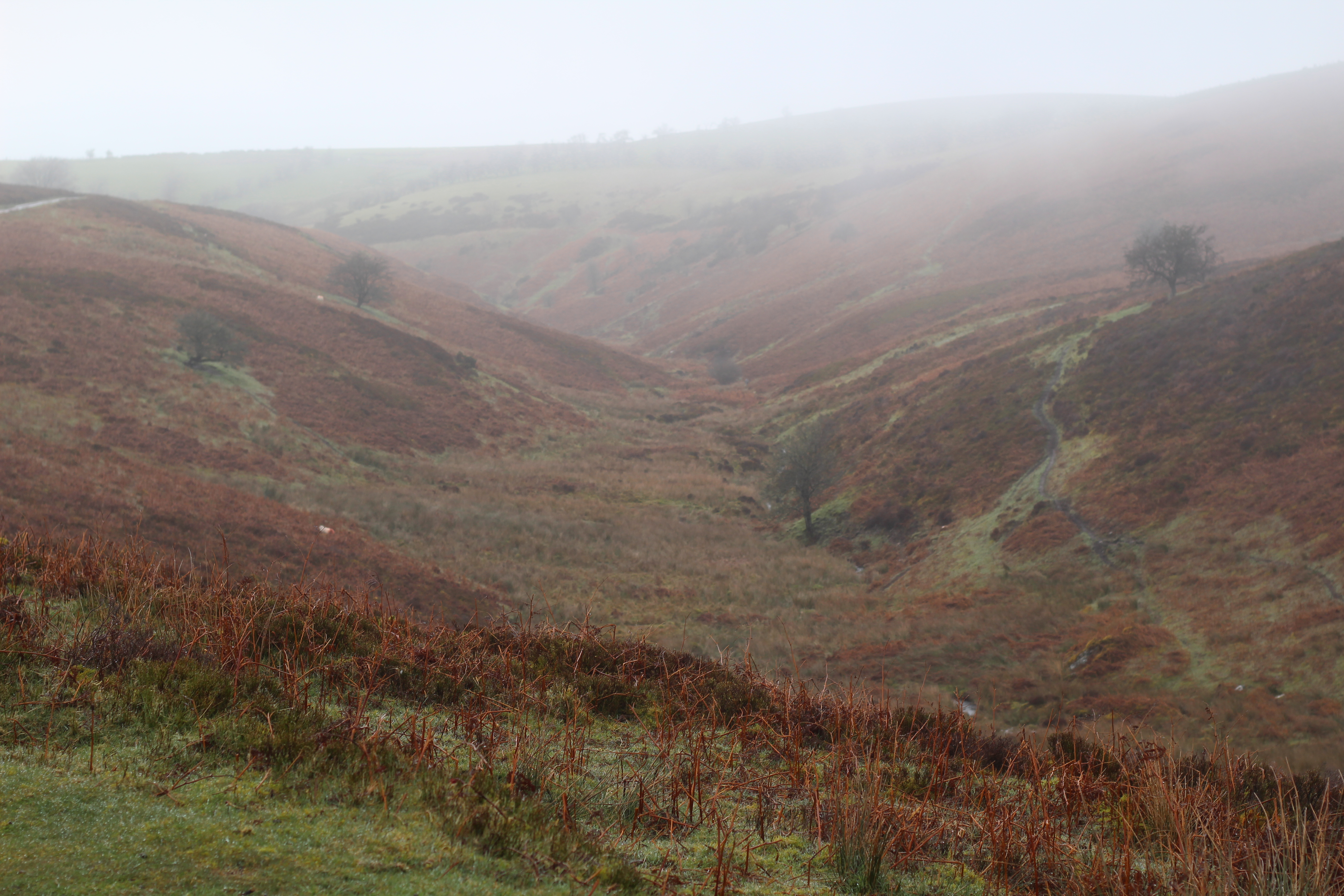
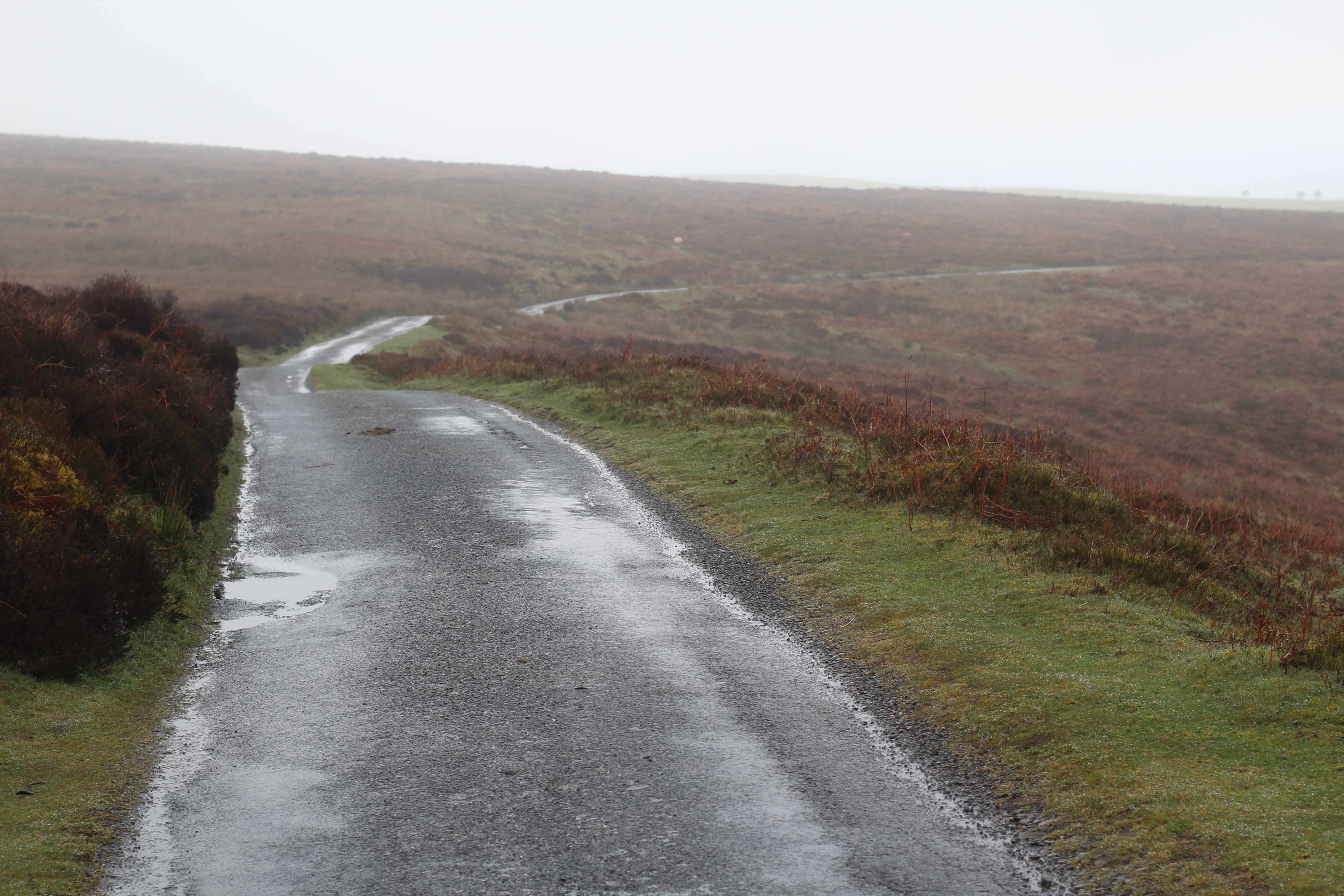
Time to regain all that height lost, and get to the high point of the ride, up near Pole Bank. The map suggested the climb up from Ratlinghope was nothing like as bad as the two other options by road – The Burway, on the opposite side of Long Mynd, and the absurd Asterton Bank, further south on its western flank. The map was correct – a sensible climb, despite another one of those chevrons.
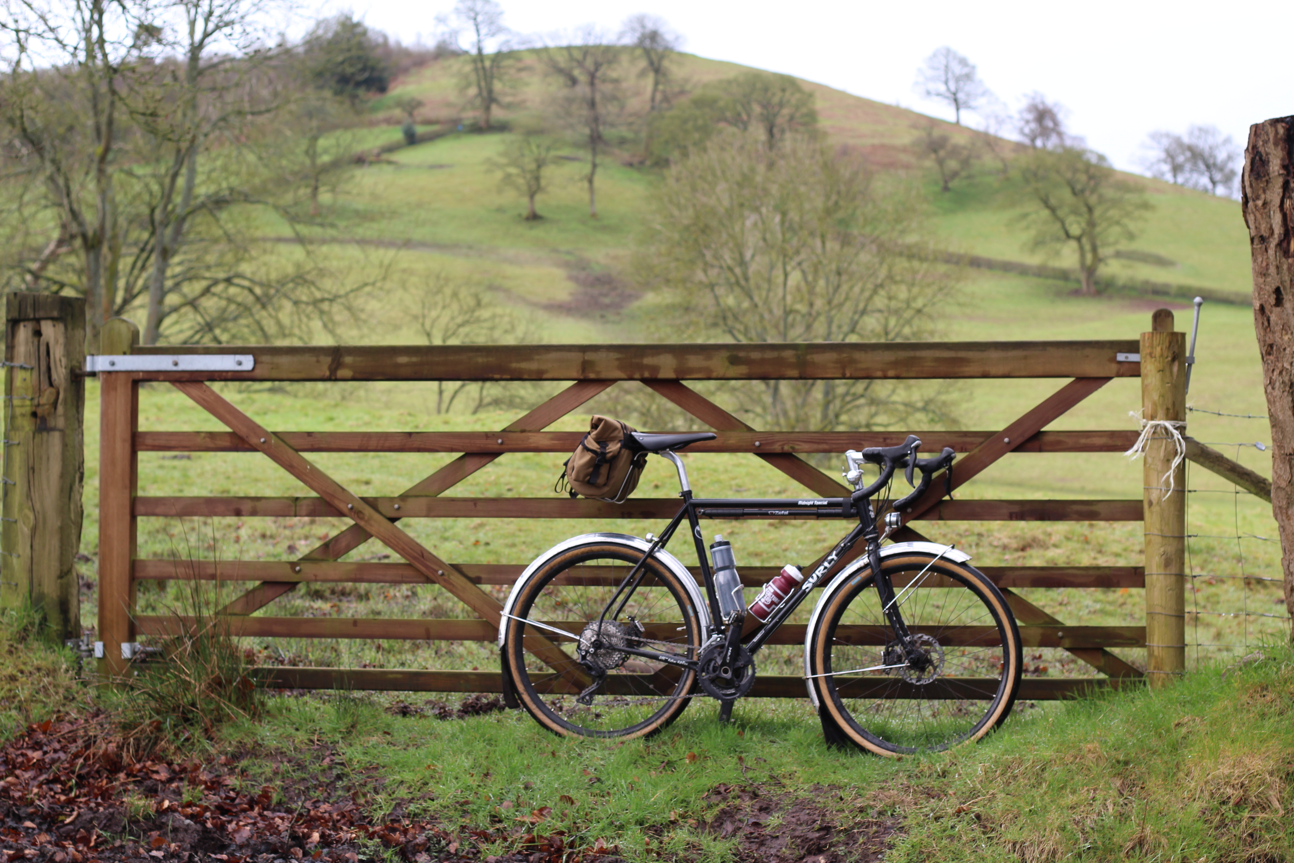
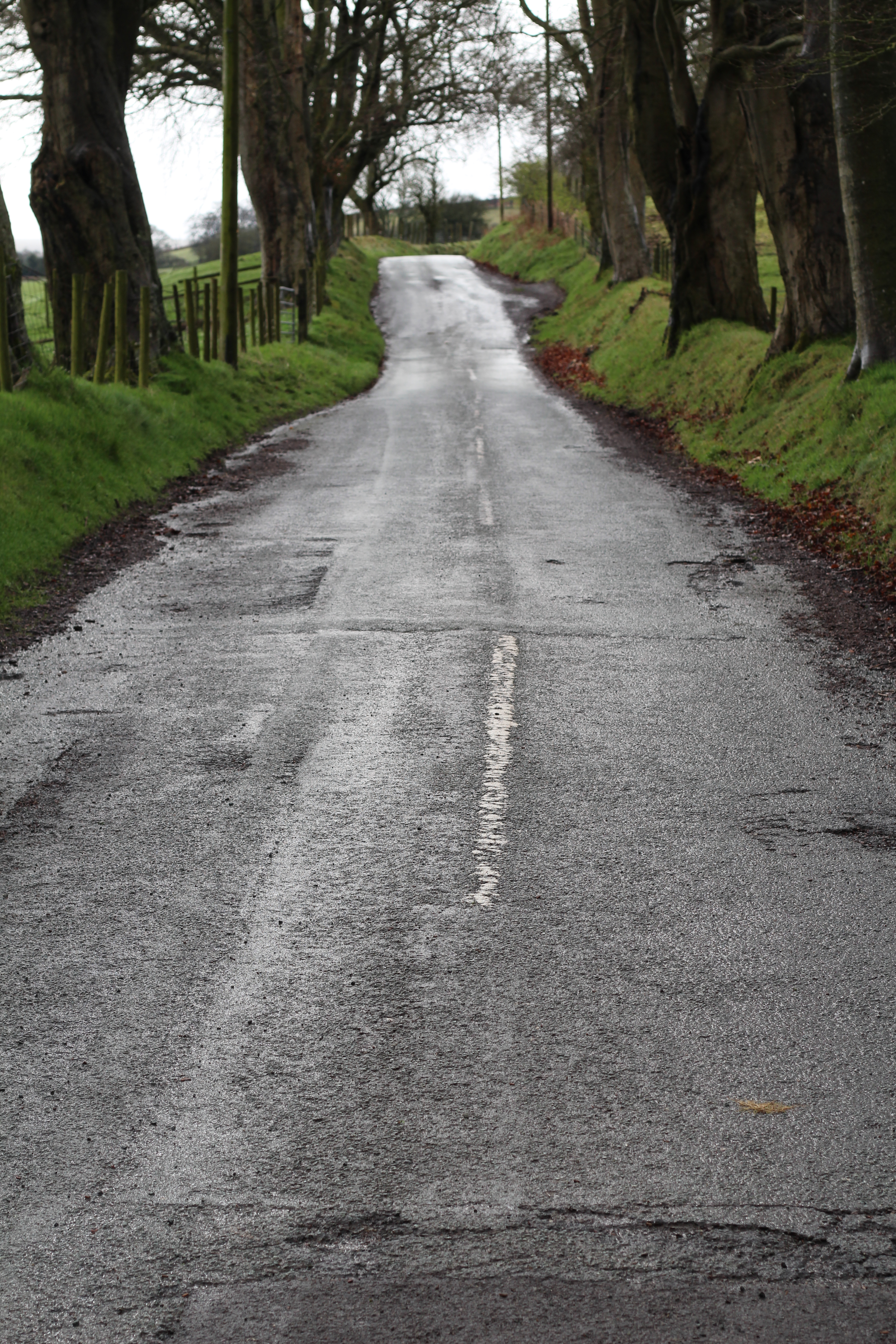
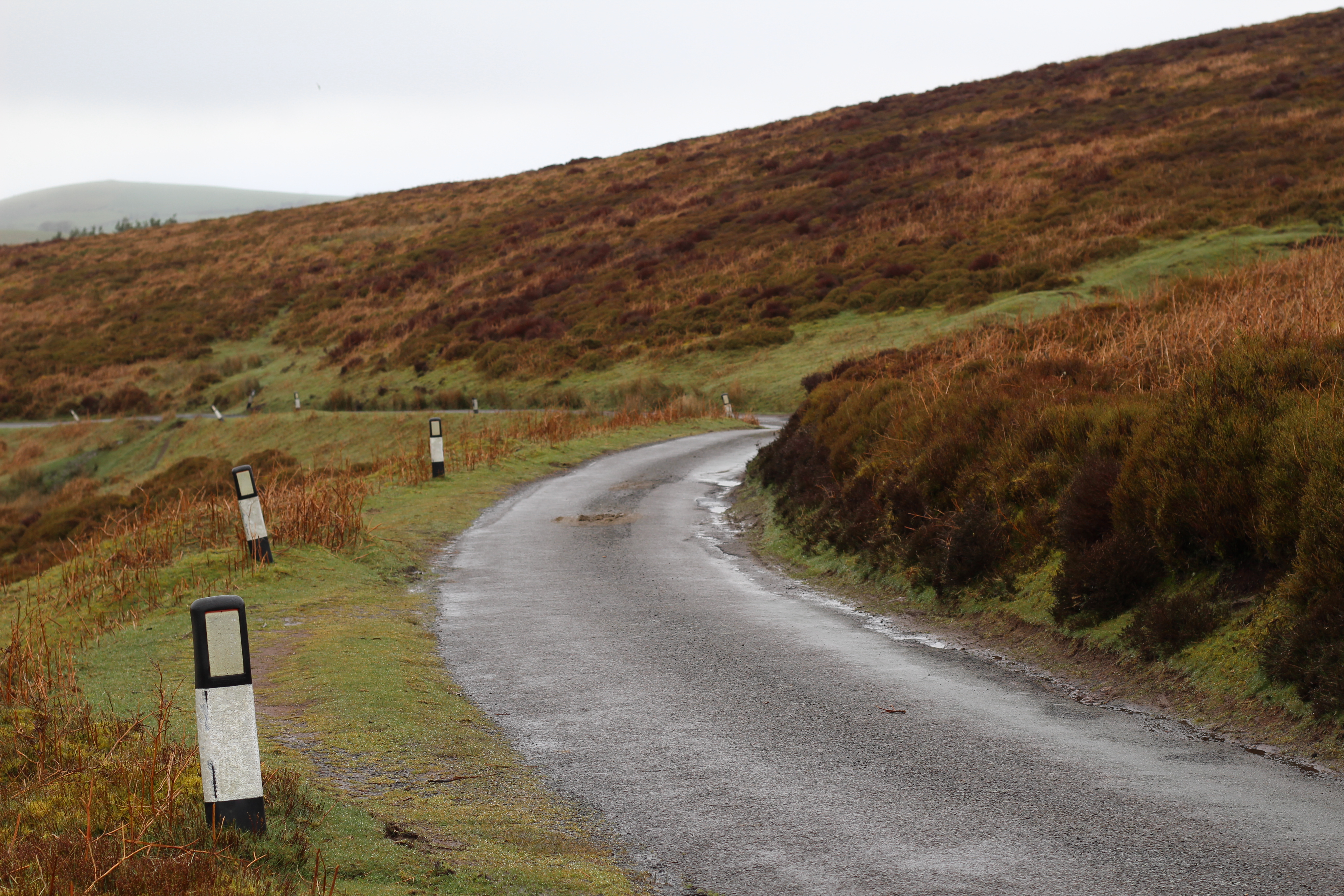
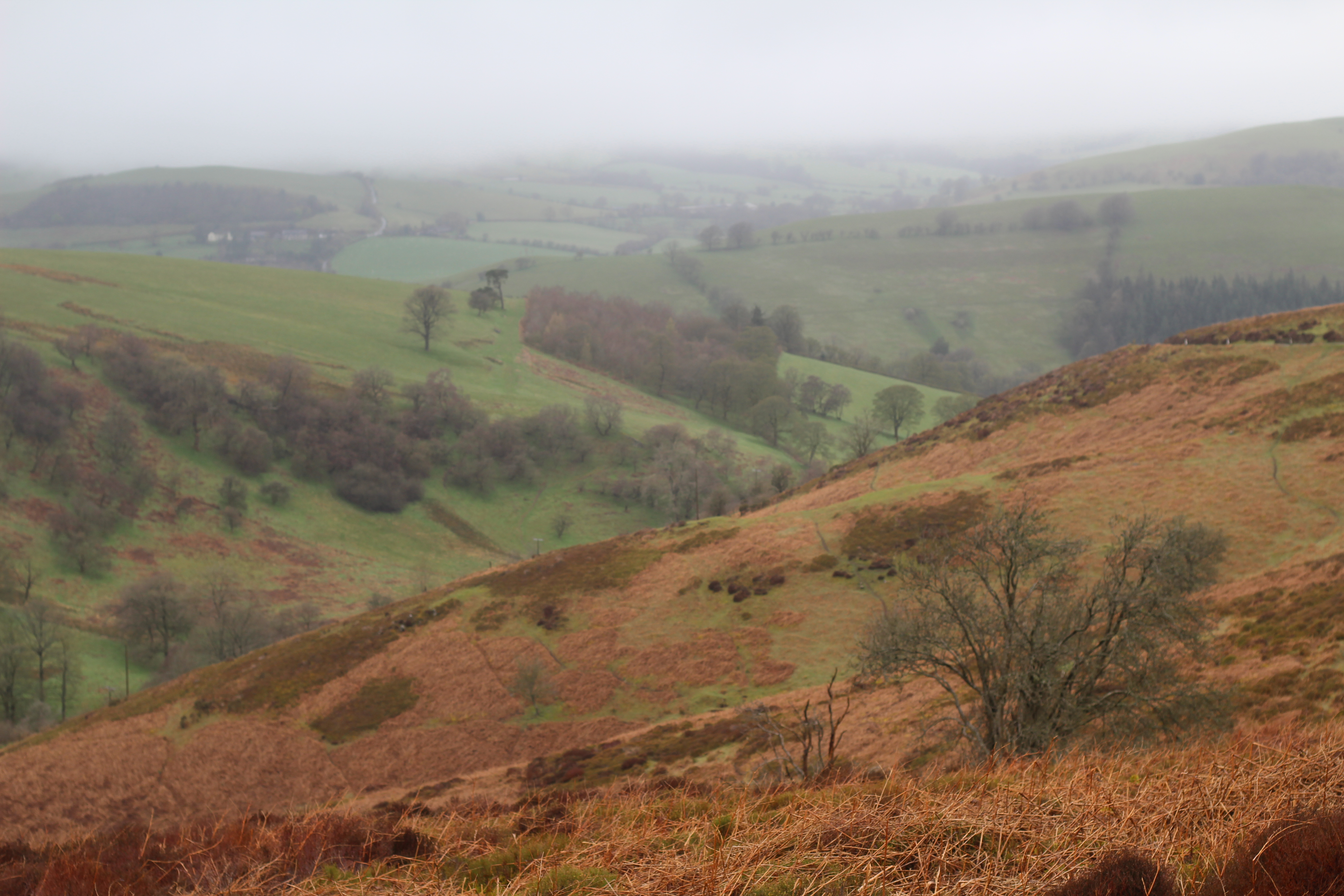
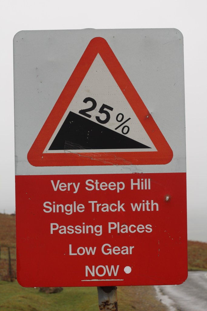
Of course it was full on pelting it down at the top, but the upside was empty lanes. Bar (pun most certainly intended) the sheep, I had Long Mynd to myself. I was back on The Portway as I cycled towards for my route down. A sign marked the way: 25 of the King’s finest percent. That can only mean one thing – Asterton Bank. But this time the concern was brakes, not gears (nor legs, lungs, heart or indeed the psychological toil of having twenty odd percent of straight road to ride up).
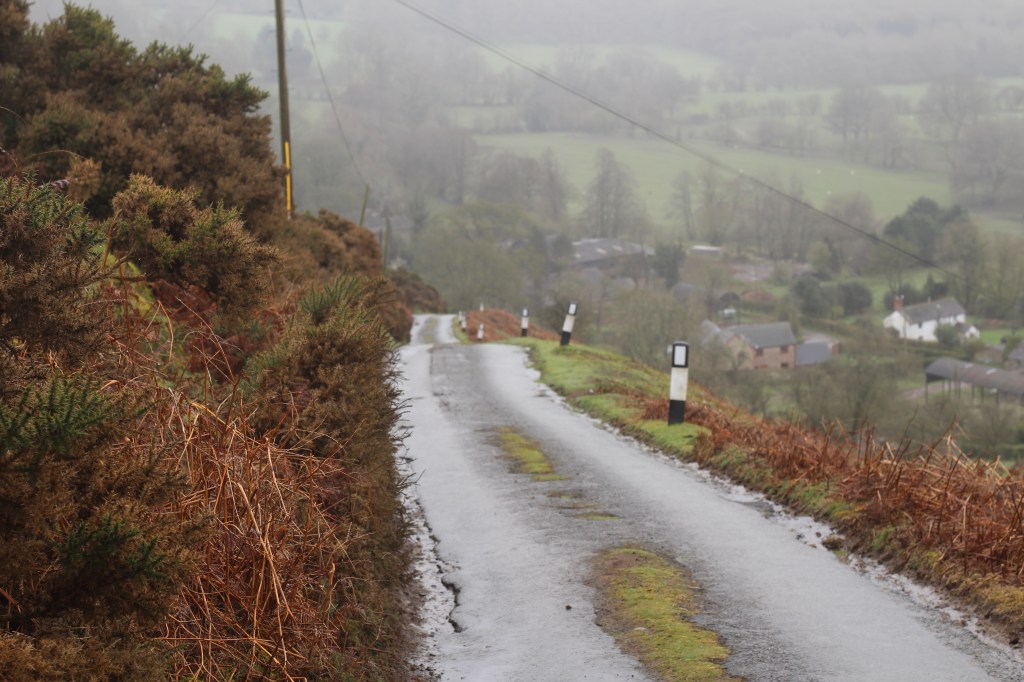
Now headed for Plowden, the tightly contoured slopes of Long Mynd to my left, the road’s loss of height aiding progress, all I’m thinking of is which part of the road presents the smoothest route, which line to pick through each curve. The Crush™️? What crush? Empty lanes, empty mind. Mushin no shin.
Riding beyond Long Mynd’s southern tip, it was still lumpy. Steady drags and sharp inclines, as I rode through villages of little more than a few houses – Eyton, Edgton, up Laplow bank (yes, a chevron) through Basford, then Wistanstow and Whittingslow, before one final climb from Marshbrook to Minton. From there, Long Mynd’s eastern side the guide back to the car. No irate resident, but probably best to not abuse this parking spot again.
 Cyclokairos
Leave a comment